Westchester County
Mold Removal in Mamaroneck, Where the Rain and the Tide Arrive Together
Send us what came into the lower level and roughly when, and we will tell you whether it needs an assessment, a removal, drying or nothing. Mamaroneck is the one place we cover with two water mechanisms that can turn up in the same hour: the Village told the county that both the low lying riverine areas near the Mamaroneck and Sheldrake rivers and the Long Island Sound shoreline flood, and the Town's own list marks roads impassable during heavy rain and high tide events.
Request a quote in Mamaroneck
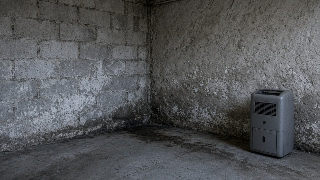
Tell us what you can see or smell, where in the house it is, and whether water has been in that space before. That last answer is the one that changes our advice most, because a space that has taken water more than once is asking a different question from a space that took it once.
$100 off your first job
Credited by us on your first booked job.
- One credit per customer per property, on your first booked job.
- Valid through December 31, 2026.
Mention this offer when you book. Full terms.
What the Village and the Town each told the county
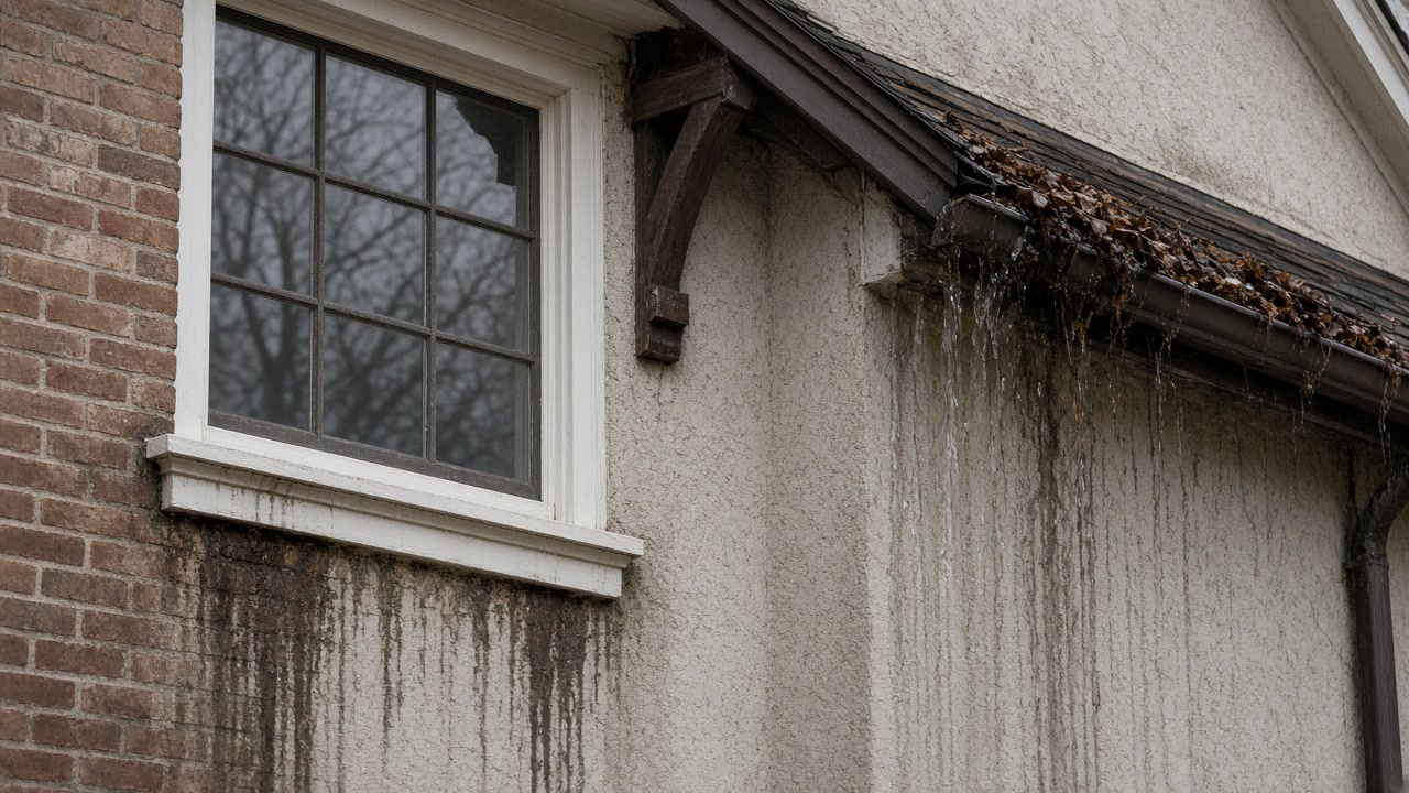
The Village of Mamaroneck told the county that "Areas susceptible to flooding include low lying riverine areas in the vicinity of the Mamaroneck and Sheldrake rivers. Additionally, areas along the Long Island Sound coastline are subject to flooding." Its annex records that "The low chord height of the Center Avenue pedestrian bridge exacerbates flooding", that "The Anita Lane/Valley Place sewer bridge causes poor hydraulic flow in the Mamaroneck River", that Harbor Island Park is affected by sea level rise and coastal flooding, and that 24 percent of the Village speaks Spanish as a primary language.
Source: Westchester County Department of Planning, 2021 Countywide Hazard Mitigation Plan, Section 9.35 Village of Mamaroneck, accessed 2026-09-22
The Town of Mamaroneck's 2021 annex reports 240 flood insurance policies, 626 paid claims, $5,706,514 in total loss payments and 62 Repetitive Loss properties as of July 2021, and lists places that flood "due to heavy rainfall, coastal flooding, or the combination of each", including Pryor Manor Road between Dillon Road and Red Bridge and Hommocks Road between Eagles Knolls Road and Oak Lane, both recorded as "impassable during heavy rain/high tide events". A resident response records that "During Hurricane Ida, the storm drains failed on Maplewood Street causing basements and below ground level garages to be flooded."
Source: Westchester County Department of Planning, 2021 Countywide Hazard Mitigation Plan, Section 9.13 Town of Mamaroneck, accessed 2026-09-22
The Village of Mamaroneck is comprised of portions of two towns, Mamaroneck and Rye, which lie on the west and east sides of the Mamaroneck River respectively. The Town of Mamaroneck separately covers an unincorporated area of 5.7 square miles, the entire Village of Larchmont of one square mile, and the part of the Village of Mamaroneck west of the Mamaroneck River, which is 2.3 square miles. The Department of Environmental Conservation places the headwaters of the Mamaroneck River in the Town of Harrison and the headwaters of the Sheldrake River in the Town of Scarsdale, with both joining in the Village of Mamaroneck before emptying into Long Island Sound.
Source: Westchester County Department of Planning, 2021 Countywide Hazard Mitigation Plan, Section 9.35 Village of Mamaroneck, and Section 9.13 Town of Mamaroneck, accessed 2026-09-22
The 2021 county plan reports FEMA data current to July 2021 for the Village of Mamaroneck: 995 flood insurance policies in force, 1,982 paid claims, $35,876,221.73 in total loss payments and 245 Repetitive Loss properties, the highest policy count and claim count of the eight towns on this site. The Village is a Community Rating System Class 8 community as of October 1, 2014, worth a 10 percent premium discount, and its flood damage prevention law is Chapter 186 of the Village Code, adopted in 2007.
Source: Westchester County Department of Planning, 2021 Countywide Hazard Mitigation Plan, Section 9.35 Village of Mamaroneck, accessed 2026-09-22
In the 2019-2023 American Community Survey, Mamaroneck village has 7,692 housing units with a median year built of 1952, 38.8 percent built in 1939 or earlier and about 78 percent before 1980. Of 7,117 occupied units, 58.8 percent are owner occupied and 41.2 percent are rented.
Source: U.S. Census Bureau, American Community Survey 2019-2023 5-Year Estimates, Tables DP04 and B25035, accessed 2026-09-22
Fresh water, or did it smell of the harbor?
If you can say which it was, say so. A drying plan built for rainwater is the wrong plan for water that arrived on a storm tide, and the difference shows in what can be kept.
Village, Town of Mamaroneck or Town of Rye: who issues your permit
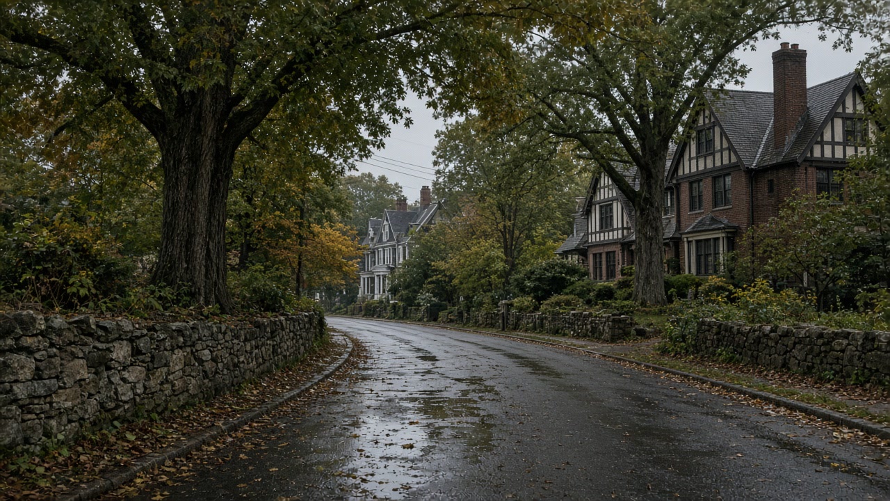
Say which Mamaroneck you mean before anything else, because three governments share the name. The Village of Mamaroneck is made up of portions of two towns, Mamaroneck to the west of the river and Rye to the east, while the Town of Mamaroneck separately covers 5.7 square miles of unincorporated area, all of the Village of Larchmont and the 2.3 square miles of the Village west of the river. Which side of the Mamaroneck River a property sits on decides who issues the permit and who administers the floodplain, and getting that wrong is the most avoidable delay on a job here. In the Village the flood damage prevention law is Chapter 186 and the Village is a Community Rating System Class 8 community, worth a 10 percent discount on every flood policy written there. The structural detail worth knowing is that the Village blames specific crossings for making things worse, telling the county that the low chord height of the Center Avenue pedestrian bridge exacerbates flooding and that the Anita Lane and Valley Place sewer bridge causes poor hydraulic flow in the Mamaroneck River. When the outfall is underwater the storm drains cannot discharge, which is why a resident described drains failing during Ida and basements and below ground garages filling, and why the rain that fills a basement here can be perfectly ordinary while the tide is the reason it had nowhere to go.
What we arrange on both sides of the Mamaroneck River
Mold Inspection and Moisture Diagnosis
Find out in writing what is bringing water into your Scarsdale lower level, whether the cause is a fault in your building or a drainage condition outside it, and whether there is a mold job here at all.
Mold Inspection in Mamaroneck →Mold Removal and Remediation
Get mold out of a finished Scarsdale lower level with a written work plan before anyone cuts, a clear line between what comes out and what stays, and containment that holds until an independent licensee passes the work.
Mold Removal in Mamaroneck →Water Damage Drying and Basement Dry Out
Get water out of a Scarsdale lower level while it is still a drying job, with the source of the water categorized first, because rain and a sanitary backup change what can be saved.
Water Damage Drying in Mamaroneck →Tell us which side of the river you are on
That one detail decides which municipality your job answers to. Send it with what you can see downstairs and a person will read the whole thing.