Mold Inspection in Mamaroneck, Telling the River From the Sound
Two mechanisms can fill the same Mamaroneck basement in the same hour, and the survey is the thing that separates them.
Mold Inspection quote in Mamaroneck
Tell us what you can see or smell, where in the house it is, and whether water has been in that space before. That last answer is the one that changes our advice most, because a space that has taken water more than once is asking a different question from a space that took it once.
$100 off your first job
Credited by us on your first booked job.
- One credit per customer per property, on your first booked job.
- Valid through December 31, 2026.
Mention this offer when you book. Full terms.
What the Village told the county about its rivers and its shoreline
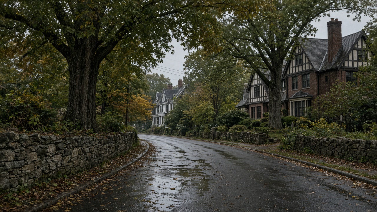
The Village of Mamaroneck told the county that "Areas susceptible to flooding include low lying riverine areas in the vicinity of the Mamaroneck and Sheldrake rivers. Additionally, areas along the Long Island Sound coastline are subject to flooding." Its annex records that "The low chord height of the Center Avenue pedestrian bridge exacerbates flooding", that "The Anita Lane/Valley Place sewer bridge causes poor hydraulic flow in the Mamaroneck River", that Harbor Island Park is affected by sea level rise and coastal flooding, and that 24 percent of the Village speaks Spanish as a primary language.
Source: Westchester County Department of Planning, 2021 Countywide Hazard Mitigation Plan, Section 9.35 Village of Mamaroneck, accessed 2026-09-22
The Village of Mamaroneck is comprised of portions of two towns, Mamaroneck and Rye, which lie on the west and east sides of the Mamaroneck River respectively. The Town of Mamaroneck separately covers an unincorporated area of 5.7 square miles, the entire Village of Larchmont of one square mile, and the part of the Village of Mamaroneck west of the Mamaroneck River, which is 2.3 square miles. The Department of Environmental Conservation places the headwaters of the Mamaroneck River in the Town of Harrison and the headwaters of the Sheldrake River in the Town of Scarsdale, with both joining in the Village of Mamaroneck before emptying into Long Island Sound.
Source: Westchester County Department of Planning, 2021 Countywide Hazard Mitigation Plan, Section 9.35 Village of Mamaroneck, and Section 9.13 Town of Mamaroneck, accessed 2026-09-22
The 2021 county plan reports FEMA data current to July 2021 for the Village of Mamaroneck: 995 flood insurance policies in force, 1,982 paid claims, $35,876,221.73 in total loss payments and 245 Repetitive Loss properties, the highest policy count and claim count of the eight towns on this site. The Village is a Community Rating System Class 8 community as of October 1, 2014, worth a 10 percent premium discount, and its flood damage prevention law is Chapter 186 of the Village Code, adopted in 2007.
Source: Westchester County Department of Planning, 2021 Countywide Hazard Mitigation Plan, Section 9.35 Village of Mamaroneck, accessed 2026-09-22
Why a Mamaroneck survey has to name the water
Mamaroneck is the one place on this site where an inspection has to name which water it was. The Village told the county that low lying riverine areas near the Mamaroneck and Sheldrake rivers flood, and that areas along the Long Island Sound coastline flood as well. Those are different sources with different consequences for what is sitting in your materials. The report also has somewhere specific to look: the Village records that the low chord height of the Center Avenue pedestrian bridge exacerbates flooding, and that the Anita Lane and Valley Place sewer bridge causes poor hydraulic flow in the Mamaroneck River.
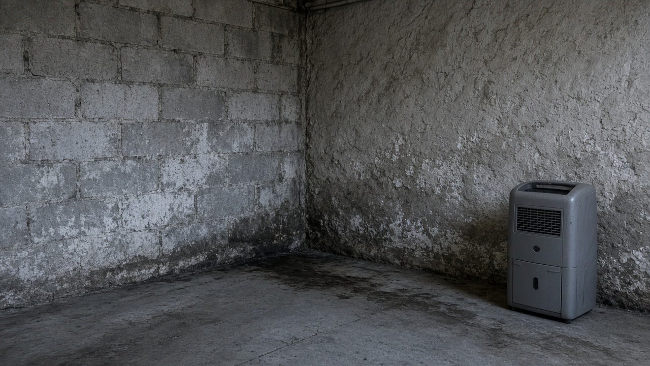
Reading a wet Mamaroneck wall in its hydrology
Know the hydrology before you interpret a wet wall. The state places the headwaters of the Mamaroneck River in the Town of Harrison and those of the Sheldrake in the Town of Scarsdale, with both joining inside the Village before they empty into Long Island Sound, so rain that fell several towns away arrives here as one combined flow. That is the context behind the numbers: 995 flood insurance policies in force, 1,982 paid claims and 245 Repetitive Loss properties as of July 2021, the highest policy and claim counts of the eight towns covered here. The Village is a Community Rating System Class 8 community worth a 10 percent premium discount, and a documented cause is what makes that a deliberate decision rather than a default.
Which of the two mechanisms arrived
The Village reports flooding in low lying riverine areas near the Mamaroneck and Sheldrake rivers and separately along the Long Island Sound coastline. The report should say which, because the answer changes the scope.
How far upstream the rain that reached you fell
The Mamaroneck River rises in the Town of Harrison and the Sheldrake in the Town of Scarsdale, and the two join inside the Village. Light rain locally is not the same as light rain in the catchment.
What the Village claim record already says
995 policies in force, 1,982 paid claims and 245 Repetitive Loss properties as of July 2021, the heaviest policy and claim counts on this site. Recurrence is the normal case, not the exception.
River, or Sound?
If you can say which, say so. If you cannot, describe what the water looked like and left behind.
What a Mamaroneck survey leads to
Mamaroneck questions about rivers, tides and records
Does it matter whether it was the river or the Sound?
It matters for what can be kept and for what stopping it would involve. The Village told the county both happen, naming low lying riverine areas near the Mamaroneck and Sheldrake rivers and separately the Long Island Sound shoreline. It also names structures it says make things worse, including the low chord height of the Center Avenue pedestrian bridge and the Anita Lane and Valley Place sewer bridge. A survey can test your building against a documented mechanism rather than guessing at one.
It barely rained here. Why did the basement take water?
Because the rain that matters may not have fallen here. The Department of Environmental Conservation places the headwaters of the Mamaroneck River in the Town of Harrison and those of the Sheldrake River in the Town of Scarsdale, and both rivers join within the Village before reaching Long Island Sound. So the catchment feeding this village extends several towns inland, and a storm that was unremarkable outside your window can still arrive as a combined flow a few hours later.
Send the Mamaroneck details and what the water did
How it arrived, how high it reached and how quickly it left. That is the shape of a useful survey brief.