Westchester County
Mold Removal in Rye, Where the City Builds Two Feet Above the Map
Tell us what reached the lower level and roughly when it arrived, and we will tell you whether the work here is an assessment, a removal, drying, or nothing at all. Rye is the one city we cover that told the county its own flood maps understate it, saying the 2007 FIRM lowered Blind Brook elevations south of Interstate 95 and that, judged against the April 2007 flooding, the older 1984 elevations were more accurate.
Request a quote in Rye
Tell us what you can see or smell, where in the house it is, and whether water has been in that space before. That last answer is the one that changes our advice most, because a space that has taken water more than once is asking a different question from a space that took it once.
$100 off your first job
Credited by us on your first booked job.
- One credit per customer per property, on your first booked job.
- Valid through December 31, 2026.
Mention this offer when you book. Full terms.
Why Rye does not take its own flood map at face value
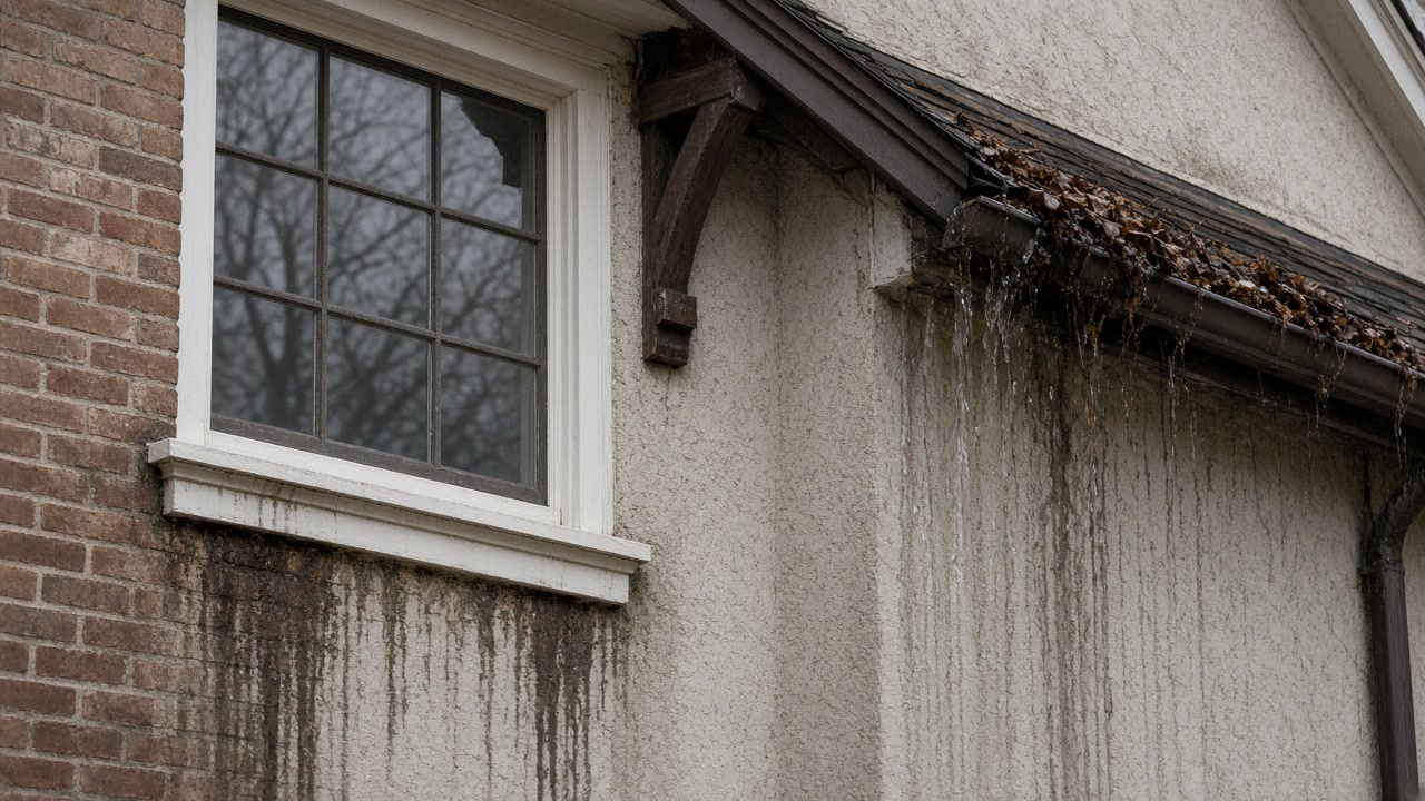
Asked in the 2021 county plan whether its flood hazard maps adequately address flood risk, the City of Rye answered: "No. The 2007 FIRM lowered flood elevations on Blind Brook south of I-95. Based on actual flooding experience in the April 2007 flood, the former 1984 FIRM elevations were more accurate." The City exceeds the NFIP minimum and "requires a two-foot freeboard (i.e. FFE has to be two feet above BFE)", and reports that after the 2007 floods about a dozen homes were elevated, all funded by the property owners.
Source: Westchester County Department of Planning, 2021 Countywide Hazard Mitigation Plan, Section 9.5 City of Rye, accessed 2026-09-22
The Department of Environmental Conservation's Resilient NY study of the Blind Brook watershed identifies six high risk areas including the Blind Brook tidal region and City of Rye downtown, and attributes flooding to short-duration high-intensity storms, long-duration tropical events, and "Undersized road crossings and narrow, hardened channels that restrict flow during high-water events". The report makes 25 recommendations, including replacing undersized bridges at Oakland Beach Avenue, Playland Parkway, Boston Post Road, Central Avenue, Locust Avenue, Highland Avenue and Western Avenue.
Source: New York State Department of Environmental Conservation, Resilient NY Blind Brook fact sheet, accessed 2026-09-22
The 2021 county plan reports FEMA data current to July 2021 for the City of Rye: 664 flood insurance policies in force, 1,891 paid claims, $40,459,618 in total loss payments and 227 Repetitive Loss properties. That is the largest total loss payment figure of the eight towns on this site. Rye does not participate in the Community Rating System, so no community discount applies to its premiums, and its flood damage prevention ordinance is Rye City Code Chapter 100, last amended in 2007.
Source: Westchester County Department of Planning, 2021 Countywide Hazard Mitigation Plan, Section 9.5 City of Rye, accessed 2026-09-22
Rye residents responding to the Westchester County hazard mitigation citizen survey reported, of the area between Forest and Roosevelt Avenue bordered by Beck and Sanford: "Many of us whom never had water before have flooded three times, Elsa, Henri and Ida." Other responses describe the storm sewer along Milton Road near the marina overflowing so that "Water comes up and out of the drains during storms", and state that the sewage treatment plant at Disbrow Park "is often over maximum capacity because of increasingly frequent rain events".
Source: Westchester County Department of Planning, 2021 Countywide Hazard Mitigation Plan, Section 9.5 City of Rye, accessed 2026-09-22
In the 2019-2023 American Community Survey, Rye city has 6,151 housing units with a median year built of 1957, 30.3 percent built in 1939 or earlier, and 70.6 percent of its 5,758 occupied units owner occupied. The City told the county that "Rye is an active market for residential tear-downs" and that "New residences are constructed as flood resistant structures with a 2-foot freeboard requirement".
Source: U.S. Census Bureau, American Community Survey 2019-2023 5-Year Estimates, Tables DP04 and B25035 and Westchester County Department of Planning, 2021 Countywide Hazard Mitigation Plan, Section 9.5 City of Rye, accessed 2026-09-22
Did it arrive on a high tide?
Tell us roughly when the water came in and how deep it got. Timing separates a Blind Brook event from a rainfall one, and the two lead to different work in the same room.
Two feet of freeboard, and who paid for the houses that went up
Rye builds above its own map. The City exceeds the NFIP minimum and requires two feet of freeboard, a finished floor elevation two feet above base flood elevation, and it told the county that about a dozen homes were elevated after the 2007 floods, every one of them funded by the owner rather than by a grant. That is the standard to design a rebuilt lower level to, and it is also a reminder that mitigation money here has historically been private. The mechanism is tidal as well as riverine: the state's Resilient NY study of the Blind Brook watershed names the tidal region and downtown Rye among six high risk areas and blames undersized road crossings and narrow hardened channels, which means a storm arriving on a high tide behaves differently from the same rain on a falling one. Residents answering the county's citizen survey described both kinds of trouble, houses that had never had water flooding three times in the summer of 2021 and storm drains near the marina that water comes up out of during storms, and those are survey responses rather than City engineering, so treat them as what neighbors report rather than as a finding. Two practical notes: Rye has paid out more in flood claims than any other town on this site, about $40.5 million, and it takes no part in the Community Rating System, so no community discount applies. And with an active teardown market alongside a prewar stock, two houses on the same street can be built to completely different standards.
What we arrange for a prewar Rye house or its replacement
Mold Inspection and Moisture Diagnosis
Find out in writing what is bringing water into your Scarsdale lower level, whether the cause is a fault in your building or a drainage condition outside it, and whether there is a mold job here at all.
Mold Inspection in Rye →Mold Removal and Remediation
Get mold out of a finished Scarsdale lower level with a written work plan before anyone cuts, a clear line between what comes out and what stays, and containment that holds until an independent licensee passes the work.
Mold Removal in Rye →Water Damage Drying and Basement Dry Out
Get water out of a Scarsdale lower level while it is still a drying job, with the source of the water categorized first, because rain and a sanitary backup change what can be saved.
Water Damage Drying in Rye →Tell us what the Rye lower level looks like now
What the walls and the floor look like today tells us more than the name of the storm does. A person reads every request, and nothing you send commits you to anything.