Mold Inspection in Harrison, Where the Federal Map Admits Gaps
If the flood map says your address is fine and the basement says otherwise, Harrison is the town where the municipality has already conceded the point.
Mold Inspection quote in Harrison
Tell us what you can see or smell, where in the house it is, and whether water has been in that space before. That last answer is the one that changes our advice most, because a space that has taken water more than once is asking a different question from a space that took it once.
$100 off your first job
Credited by us on your first booked job.
- One credit per customer per property, on your first booked job.
- Valid through December 31, 2026.
Mention this offer when you book. Full terms.
Harrison's own answer when the county asked about its flood maps
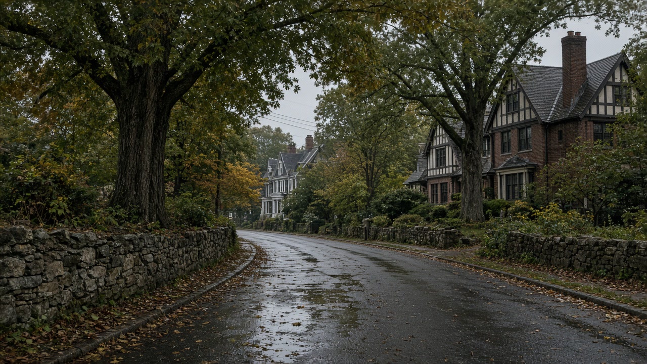
Asked in the 2021 county plan whether its flood hazard maps adequately address the flood risk in its jurisdiction, the Town-Village of Harrison answered no: "Current FIRMs do not include some areas. The Town plans to expand flood mapping and establish a Town specific flood map that identifies all flooding sources (riverine, precipitation, urban, over land flooding) and use this improved mapping and data to update the Town/Village code." It also reported that it was finishing a Drainage Manual with a GIS map of problem areas.
Source: Westchester County Department of Planning, 2021 Countywide Hazard Mitigation Plan, Section 9.31 Town-Village of Harrison, accessed 2026-09-22
The 2021 county plan reports FEMA data current to July 2021 for the Town-Village of Harrison: 321 flood insurance policies in force, 949 paid claims, $5,882,727.30 in total loss payments and 94 Repetitive Loss properties. Harrison is a Community Rating System Class 7 community as of May 1, 2020, which FEMA rates at a 15 percent premium discount. No other town on this site holds a Community Rating System class below 8, which FEMA rates at 10 percent. Its flood damage prevention ordinance is Chapter 146 of the Town Code, last amended in 2007.
Source: Westchester County Department of Planning, 2021 Countywide Hazard Mitigation Plan, Section 9.31 Town-Village of Harrison, accessed 2026-09-22
Harrison's 2021 annex names the areas where repetitive flood damage is recorded: "low lying areas and areas along the waterways", specifically Temple Street, Bradford Street, Congress Street, Ellsworth Avenue, Indian Trail, Shawnee Trail, Pinehurst Drive, Walnut Lane, Crotona Avenue, Glendale Road, Oak Street, Osborne Road, Woodlands Road, Park Avenue, West Street, Batavia Place, Ramapo Trail, Post Place, Condit Street, Crystal Street and Genesee Trail. It also records flooding on Brentwood Brook near two schools, a pond near Harrison Elementary School that floods and affects nearby homes, and states that "The Town/Village piping, sewage, and plumbing drainage systems are outdated and inefficient", with drainage upgrades needed for nuisance flooding in Downtown Harrison, Purchase and West Harrison.
Source: Westchester County Department of Planning, 2021 Countywide Hazard Mitigation Plan, Section 9.31 Town-Village of Harrison, accessed 2026-09-22
Harrison is a coterminous town-village of three sections, West Harrison in the northeast, Purchase in the northwest and Harrison in the south, with an estimated 2019 population of 28,135. In the 2019-2023 American Community Survey it has 9,283 housing units with a median year built of 1963, only 21.8 percent built in 1939 or earlier, and 62.0 percent of its 8,789 occupied units owner occupied.
Source: U.S. Census Bureau, American Community Survey 2019-2023 5-Year Estimates, Tables DP04 and B25035, accessed 2026-09-22
FEMA's redacted National Flood Insurance Program claims dataset records 12,245 paid flood insurance claims in Westchester County across the life of the program, about $272.4 million paid on building and contents combined, with the heaviest loss years 2021 at 1,829 claims, 2011 at 1,374 and 2007 at 1,346. Of those 12,245 claims, 4,291, about 35 percent, were rated in flood zones X, B or C, which sit outside the Special Flood Hazard Area. For Ida alone there were 1,729 paid county claims with dates of loss between September 1 and 4, 2021, totaling about $104.9 million, of which 669, about 39 percent, were rated in zones X, B or C.
Source: Federal Emergency Management Agency, OpenFEMA FIMA NFIP Redacted Claims, accessed 2026-09-22
Why an address outside the zone settles nothing in Harrison
An inspection earns its money in Harrison because the usual shortcut does not work here. Asked by the county whether its flood hazard maps adequately address the risk in its jurisdiction, the Town-Village answered no, stating that current FIRMs do not include some areas and that it plans to establish a Town specific flood map identifying all flooding sources, riverine, precipitation, urban and overland. When a municipality says its own maps are incomplete, sitting outside a mapped zone stops being evidence of anything, and the only thing left that speaks to your address is the building itself.
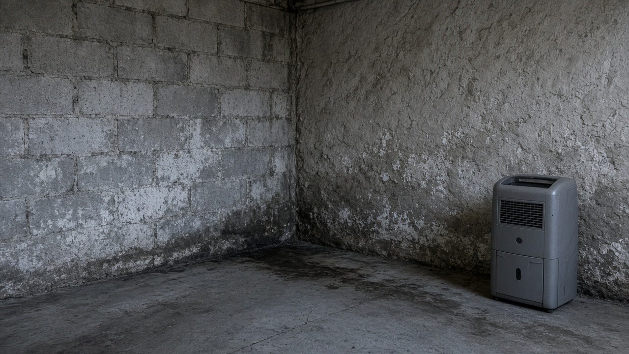
The Harrison documents worth having before a survey
Ask for the Town's own work rather than the federal panel. Harrison reported to the county that it was finishing a Drainage Manual with a GIS map of problem areas, which is a far more useful starting point than a FIRM when you are trying to understand why one lower level keeps taking water. Then put the insurance question the right way round. Harrison holds a Community Rating System Class 7 rating as of May 2020, which FEMA rates at a 15 percent premium discount and which is the strongest classification of the eight towns on this site, so carrying coverage costs less here than in most of its neighbors. A documented cause is what turns that into a decision you have actually made rather than a default.
What the FIRM does not cover in Harrison
The Town-Village told the county that current FIRMs do not include some areas, and that it intends to map riverine, precipitation, urban and overland flooding sources itself and update its code from the result.
Which of Harrison's three sections you are in
Downtown Harrison in the south, West Harrison in the northeast and Purchase in the northwest, all under one Town-Village and one code, with flood damage prevention in Chapter 146.
What 949 claims against 321 policies is telling you
As of July 2021 Harrison had 321 flood policies in force, 949 paid claims and 94 Repetitive Loss properties. That ratio is the same buildings claiming repeatedly, not a town of one-off events.
Off the map, and still taking water?
That is a recognized situation here, not an anomaly. Say what happens and how often, and we will say what the next step is.
Where a Harrison survey leads
Harrison questions about maps, zones and drains
We are not in a flood zone, so why is water coming in?
Because the mapped zone describes waterways and a good deal of Harrison flooding is not a waterway. The Town told the county its current FIRMs do not include some areas and that its Town specific map would cover precipitation, urban and overland sources as well as riverine ones. It also stated that its piping, sewage and plumbing drainage systems are outdated and inefficient, with nuisance flooding needing drainage upgrades in all three sections. County-wide, about 35 percent of paid flood claims were rated outside the Special Flood Hazard Area.
Does the Town keep a record of which properties have flooded?
It records areas rather than addresses. Harrison's annex names low lying areas and stretches along the waterways where repetitive flood damage occurs, listing streets including Temple Street, Bradford Street, Congress Street, Indian Trail, Walnut Lane, Osborne Road and Ramapo Trail among others, along with flooding on Brentwood Brook near two schools. Those are the areas the Town examined. None of it is a finding about an individual house, which is the gap a survey fills.
Send the Harrison details and what you have seen
Which section, what arrives, and how many times. That is enough for a straight answer on whether a survey is worth buying.