Mold Inspection in Hartsdale, Where the Records Live in Greenburgh
An inspection gathers what a hamlet with no government of its own cannot hand you: a written read on where the water enters and whether it will be back.
Mold Inspection quote in Hartsdale
Tell us what you can see or smell, where in the house it is, and whether water has been in that space before. That last answer is the one that changes our advice most, because a space that has taken water more than once is asking a different question from a space that took it once.
$100 off your first job
Credited by us on your first booked job.
- One credit per customer per property, on your first booked job.
- Valid through December 31, 2026.
Mention this offer when you book. Full terms.
Greenburgh's flood numbers, and what they mean for a Hartsdale policy
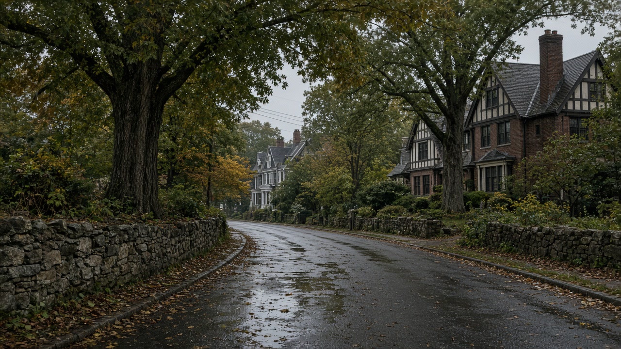
Hartsdale is an unincorporated hamlet within the Town of Greenburgh and has no village government of its own. The Town of Greenburgh covers 31 square miles between the Hudson River and the Bronx River and contains six incorporated villages plus the unincorporated area; that unincorporated area, about 18 square miles, is the part covered by the Town's own hazard mitigation annex. Floodplain management for it sits with the Town's Bureau of Engineering, and the flood damage prevention ordinance is Chapter 220 of the Town Code, dated 2007.
Source: Westchester County Department of Planning, 2021 Countywide Hazard Mitigation Plan, Section 9.11 Town of Greenburgh, accessed 2026-09-22
The 2021 county plan reports FEMA data current to July 2021 for the Town of Greenburgh: 224 flood insurance policies in force, 420 paid claims, $4,998,461.57 in total loss payments and 46 Repetitive Loss properties. The Town does not participate in the FEMA Community Rating System, so no community discount is applied to its flood insurance premiums, and it names the Saw Mill River and Bronx River watersheds as its major flood-prone areas.
Source: Westchester County Department of Planning, 2021 Countywide Hazard Mitigation Plan, Section 9.11 Town of Greenburgh, accessed 2026-09-22
At Westchester County Airport, the NOAA 1991-2020 hourly climate normals show a July dew point that never drops below about 61F at any hour of the month: the lowest hourly July dew point normal is 60.9F, the highest is 65.0F, and the monthly mean is 63.2F. August is similar, with a mean of 62.6F. The season turns sharply: the mean is 57.5F in June and 56.3F in September, and while every hour of July sits at or above 60F, only about 5 percent of September hours do.
Source: NOAA National Centers for Environmental Information, 1991-2020 Climate Normals, station USW00094745 Westchester County Airport, NY, accessed 2026-09-22
The Town of Greenburgh's 2021 hazard mitigation annex identifies two Hartsdale-specific drainage problems. It records that "Flooding occurs on East Hartsdale Avenue from a tributary resulting in basement and ground floor damages to businesses", with a stormwater infrastructure analysis of that corridor underway, and that "The stormwater system at West Hartsdale Road is degraded and lacks the necessary capacity to handle stormwater", proposing headwall replacement, increased channel capacity and slope stabilization. It also carries forward a Hartsdale Brook flood control project near East Hartsdale Avenue whose original engineering report dates from September 2008.
Source: Westchester County Department of Planning, 2021 Countywide Hazard Mitigation Plan, Section 9.11 Town of Greenburgh, accessed 2026-09-22
Why a Hartsdale inspection starts at a Town office
Hartsdale has no building department, no floodplain administrator and no drainage file of its own, because it is an unincorporated hamlet inside the Town of Greenburgh, where floodplain management for the unincorporated area sits with the Bureau of Engineering under Chapter 220 of the Town Code. That matters the moment you try to research a wet lower level, since the paper trail for your address runs through a Town office covering 31 square miles and six incorporated villages besides. The inspection is the part that is about your house specifically, and it is what turns a smell into a documented cause.
What to weigh before commissioning a Hartsdale report
Weigh the insurance position before deciding how much diagnosis to buy. As of July 2021 the Town of Greenburgh had 224 flood insurance policies in force against 46 Repetitive Loss properties, and it takes no part in the FEMA Community Rating System, so no community discount reaches a Hartsdale premium. Thin and undiscounted coverage makes a written cause worth more rather than less, because it is the document that separates a gutter and a grading change you pay for once from a condition in the Town's storm system that is not yours to solve. One thing to mention when you send the details: if the room is only musty in high summer and fine by Thanksgiving, that points at condensation rather than a leak, and the fix is cheap.
Which Greenburgh office holds what you need
Hartsdale has no village government. Floodplain management for the unincorporated area sits with the Town's Bureau of Engineering and flood damage prevention is Chapter 220 of the Town Code, dated 2007.
Whether the damp is seasonal or structural
At the nearest reporting station the July dew point normal never drops below about 61F at any hour, with a monthly mean of 63.2F. A cool below grade wall condenses out of that air with no crack behind it.
What thin coverage does to the value of a report
224 policies in force against 46 Repetitive Loss properties as of July 2021, and no Community Rating System participation, so nothing discounts the premium. What you can evidence about a cause carries more weight here.
Not sure which Town office to start with?
Send the street and say what has actually happened. Part of the answer in Hartsdale is usually which Greenburgh record is worth requesting.
What a Hartsdale report leads to
Hartsdale questions about records, permits and damp walls
Who holds the flood history for a Hartsdale address?
The Town of Greenburgh. Hartsdale is unincorporated, so there is no village hall to ask, and the Town's hazard annex is the public document that records drainage problems by corridor. It notes flooding on East Hartsdale Avenue from a tributary and describes the stormwater system at West Hartsdale Road as degraded and short of capacity. That tells you what an area is doing. It does not tell you what your building did, which is what the survey is for.
The basement smells in July and is fine by November. Is that mold?
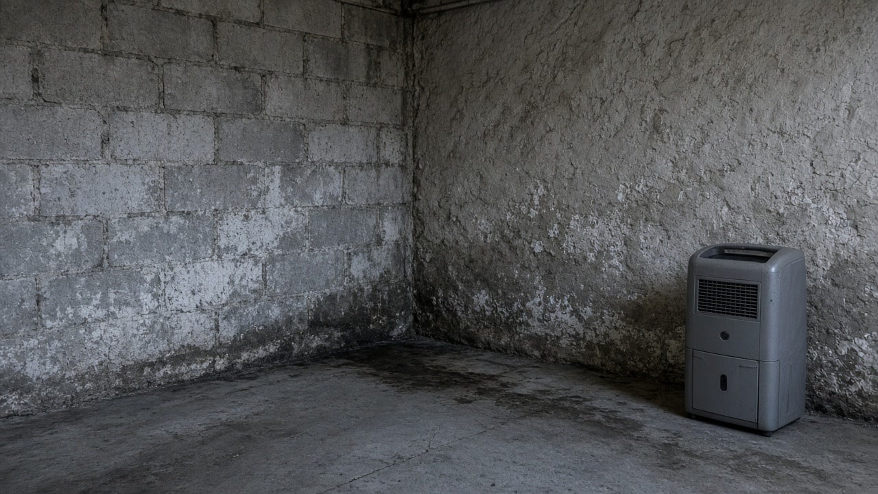
It is much more often humidity. The NOAA 1991 to 2020 normals for the nearest station show a July dew point at or above about 61F for every hour of the month, which means summer air condenses on a cool below grade wall without any leak involved. Put a hygrometer in the room and run a dehumidifier for a fortnight before paying anyone. If the smell survives that, it is worth a proper look.
Send the Hartsdale details and what the room does
What you see, when it happens and whether it clears in winter. Nothing you send here commits you to anything.