Mold Inspection in White Plains: Read the City Record, Then the Building
There is a document worth asking the City for before you pay anyone here, and the survey is what you buy once you know what it says.
Mold Inspection quote in White Plains
Tell us what you can see or smell, where in the house it is, and whether water has been in that space before. That last answer is the one that changes our advice most, because a space that has taken water more than once is asking a different question from a space that took it once.
$100 off your first job
Credited by us on your first booked job.
- One credit per customer per property, on your first booked job.
- Valid through December 31, 2026.
Mention this offer when you book. Full terms.
What the City will look up for you, and what it will not
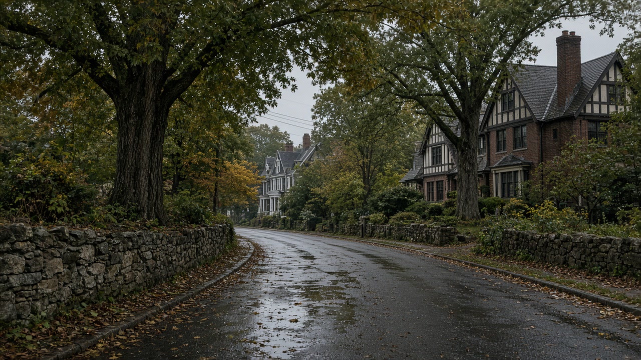
Asked in the 2021 county plan whether it keeps a list of properties damaged by flooding, the City of White Plains answered "The City maintains a list of flood damaged properties", and named its flood-prone areas: low lying areas of Cloverdale Avenue, Smith Avenue near Longview Avenue, a portion of Bloomingdale Road at the exit ramps of I-287, Brockway Place, a low lying area of Haarlem Avenue near Glenn Street, a section of Bronx River Parkway near Main Street bridge, and a low lying area of Central Westchester Parkway. It is the only one of the eight towns on this site that told the county it keeps such a list.
Source: Westchester County Department of Planning, 2021 Countywide Hazard Mitigation Plan, Section 9.6 City of White Plains, accessed 2026-09-22
The 2021 county plan reports FEMA data current to July 2021 for the City of White Plains: 125 flood insurance policies in force, 190 paid claims, $719,358.37 in total loss payments and 37 Repetitive Loss properties. The City does not participate in the Community Rating System, and its own annex lists that as a vulnerability, noting it "does not benefit from the flood protection and resiliency elements of the program or the reduced Flood Insurance rates for its residents". Floodplain management sits with the Department of Public Works, and the flood damage prevention ordinance is Title VII Chapter 7-10 of the White Plains Municipal Code.
Source: Westchester County Department of Planning, 2021 Countywide Hazard Mitigation Plan, Section 9.6 City of White Plains, accessed 2026-09-22
FEMA's redacted National Flood Insurance Program claims dataset records 12,245 paid flood insurance claims in Westchester County across the life of the program, about $272.4 million paid on building and contents combined, with the heaviest loss years 2021 at 1,829 claims, 2011 at 1,374 and 2007 at 1,346. Of those 12,245 claims, 4,291, about 35 percent, were rated in flood zones X, B or C, which sit outside the Special Flood Hazard Area. For Ida alone there were 1,729 paid county claims with dates of loss between September 1 and 4, 2021, totaling about $104.9 million, of which 669, about 39 percent, were rated in zones X, B or C.
Source: Federal Emergency Management Agency, OpenFEMA FIMA NFIP Redacted Claims, accessed 2026-09-22
The White Plains record to read before you book anything
Start with the research that costs nothing. Asked by the county whether it keeps a list of properties damaged by flooding, the City of White Plains answered that it maintains one, and it is the only one of the eight towns on this site that said so. That list will not diagnose a wall, but it tells you whether this is a first event or a pattern, and a pattern is what turns an inspection from a formality into the thing that decides your spending. Then the survey can concentrate on what only a visit settles: where the water enters, how much of the room is porous, and whether the cause is inside the building.
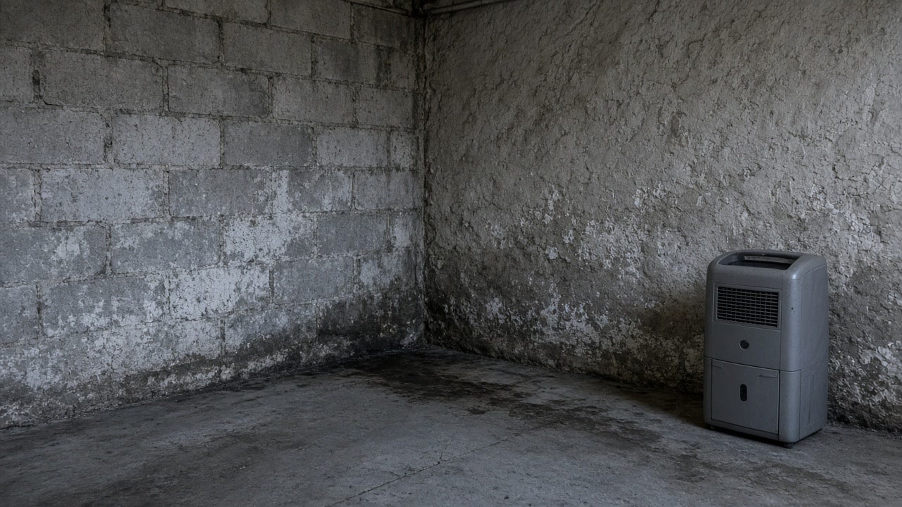
Coverage and the code, settled before a White Plains survey
Two things are worth knowing before you decide how much diagnosis to buy. The City holds 37 Repetitive Loss properties against just 125 flood insurance policies in force as of July 2021, and it takes no part in the Community Rating System, which its own annex lists as a vulnerability because residents get neither the resiliency elements of the program nor the reduced premiums. Coverage here is thin and undiscounted, so what you can prove about a cause matters more than what a policy might absorb. The second is the office: floodplain management sits with the Department of Public Works and the flood damage prevention rules are Title VII Chapter 7-10 of the Municipal Code, so exterior work touching grading, drainage or a foundation answers to one department rather than two.
Whether the City list already names the building
White Plains told the county it maintains a list of flood damaged properties. It is the only town here that did, and asking is free before anyone is paid to investigate.
What an insurer is likely to absorb
125 policies in force against 37 Repetitive Loss properties as of July 2021, and no Community Rating System participation. The City's annex names that absence as a vulnerability for its residents.
Whether being off the flood map settles anything
Of 12,245 paid flood claims across Westchester County, 4,291, about 35 percent, were rated in zones X, B or C, outside the Special Flood Hazard Area.
First time, or is it on the City's list?
Tell us what you already know about this building's water history, even if it is only what a neighbor remembers.
What follows a White Plains survey
What White Plains owners ask about the City's flood list
Does White Plains keep a record of which buildings have flooded?
Ask the City first. It told the county it maintains a list of flood damaged properties, and it named the places it treats as flood prone, including low lying parts of Cloverdale Avenue, Smith Avenue near Longview Avenue, a portion of Bloomingdale Road at the I-287 exit ramps, Brockway Place, Haarlem Avenue near Glenn Street, a section of Bronx River Parkway near the Main Street bridge and a low lying stretch of Central Westchester Parkway. That is what the City says it examines, not a verdict on any individual address.
We are not in the mapped flood zone, so how is this flooding?
The map describes streams, and a great deal of what wets a lower level is not a stream. Across Westchester County, 4,291 of 12,245 paid flood insurance claims, roughly 35 percent, were rated in zones X, B or C, which sit outside the Special Flood Hazard Area. For Ida alone about 39 percent of paid county claims were rated outside it. An address off the map is not an address without a mechanism, which is exactly what a survey is for.
Send the White Plains address and what you can see
You get the questions that narrow it down, and an honest note when the right answer is that nothing needs doing.